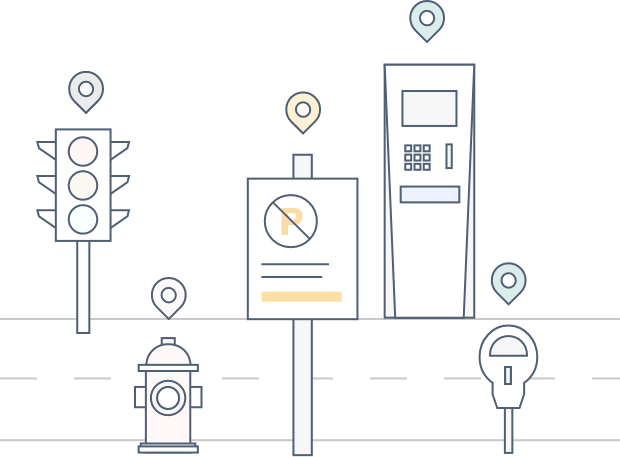
key features
Accurate coordinates
Precise locations mapped from street-level images with our patented technologies.
Standardized attributes
We categorize objects on the streets according to standard customer usage.
Extracted contents
Extract objects' unique content. Understand them for better management.
Collect
Leveraging deep learning and computer vision, we can remotely map any objects or paintings on the streets.
Improve
Erase your outdated and incorrect data. We will help you improve your data quality from multiple data sources.
Integrate
Integrating your existing data is welcome. All types of records are supported and accepted to be improved.
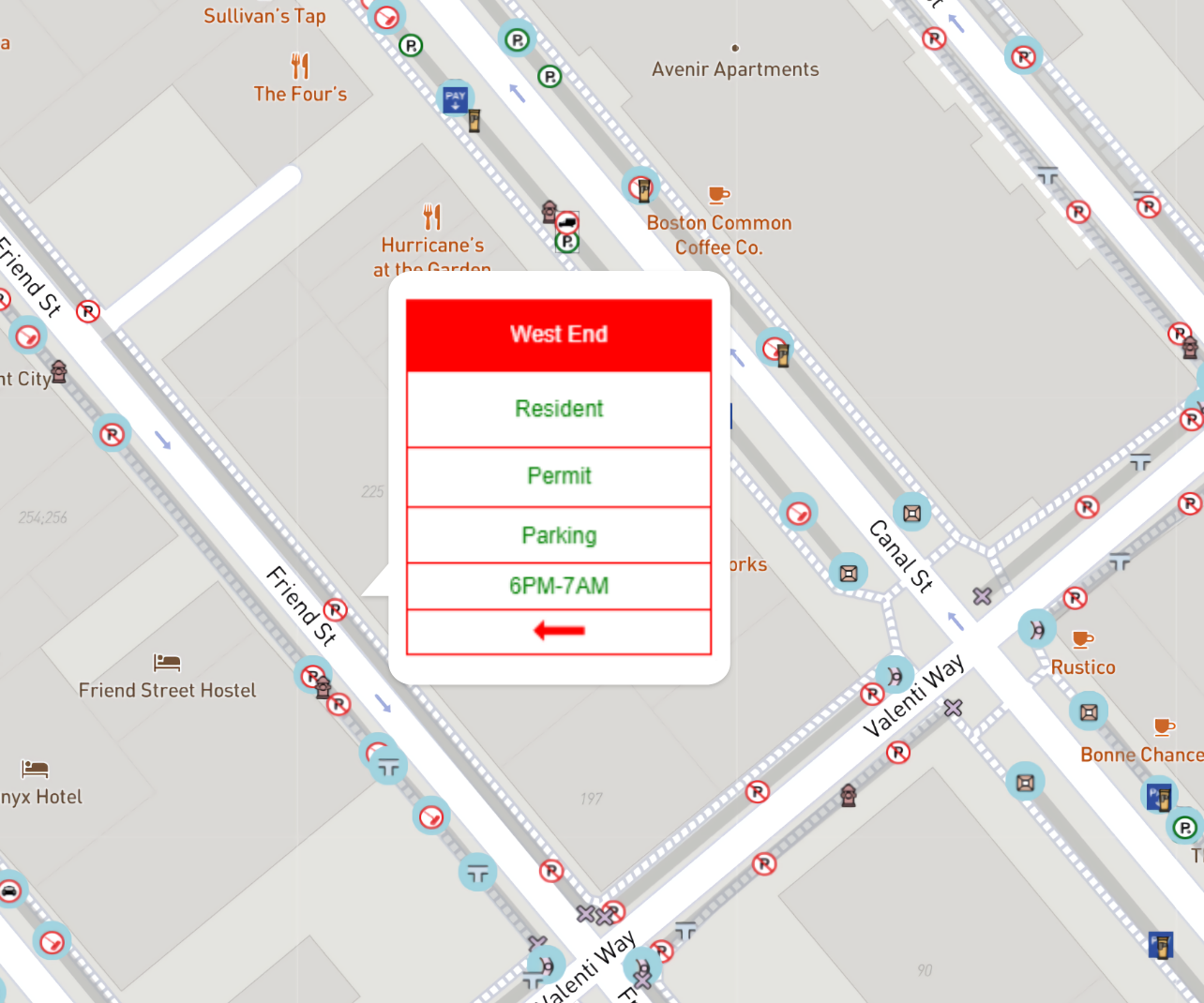
Display
Display assets on maps with a well-organized design. View within organizations or open to the public.
Maintain
PolaGIS data platform portal helps you quickly share, manage, and export data for analysis.
Update
We guarantee a certain frequency to refresh the data and connect to data sources according to your needs.
Sign up for newsletter